All watches and warnings are ended.
Updated from the story below...
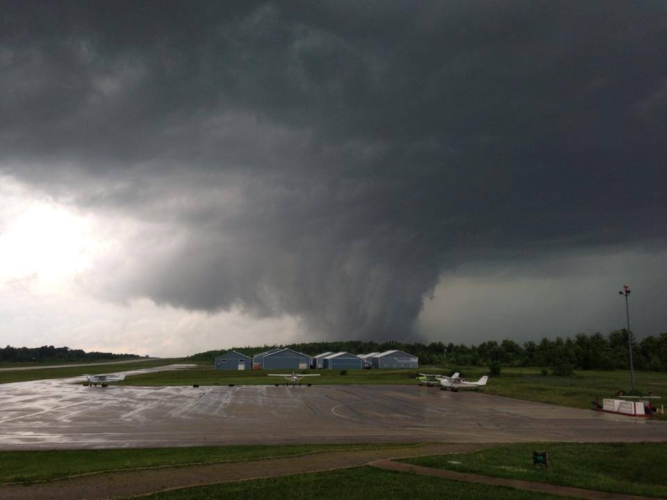
Storms this morning were just the first round for much of Ontario.
Peter Kimbell with Environment Canada tells CTV News the current storm system will last for about another hour, until about 1:30 p.m. A new system is setting up, Kimbell says, and it could hit the area between 1:30 p.m. and 2 p.m. and likely won't bring much.
But a third system could hit between 3 p.m. and 5 p.m. and be much worse. It's not clear how severe that third system will be for our area. The period between storms could be very sunny, but Kimbell says don't be fooled. The third round is likely to be worse than this morning.
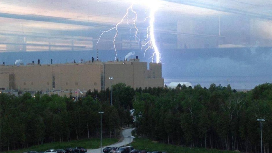
He says the systems will develop quickly, and says there is potential for a tornado to develop in southwestern Ontario. However, the biggest concerns for our area are heavy rain and lightning, he says.
A warning has been reissued in Grey-Bruce and the Barrie area.
Environment Canada says a developing line of storms over Lake Huron will cross the region this afternoon with heavy rain, wind gusts to 100 kilometres per hour and damaging hail of two-to-four centimetres in diameter being possible.
Kimbell says on average 10 people are killed every year in lightning strikes in Canada.
Earlier this morning, conditions that could produce a severe thunderstorm developed throughout our region. Environment Canada says the conditions were capable of producing “dangerous thunderstorms."
These storms come as a result of the same severe weather system that caused two tornadoes in Nebraska, however it isn't expected to have the same damaging effect in Ontario. The threat of this storm extends until the evening.
People should be on the lookout for adverse weather conditions and be prepared to take cover.
