BARRIE, ONT. -- The start of the workweek came with tornado and severe thunderstorm watches across central Ontario.
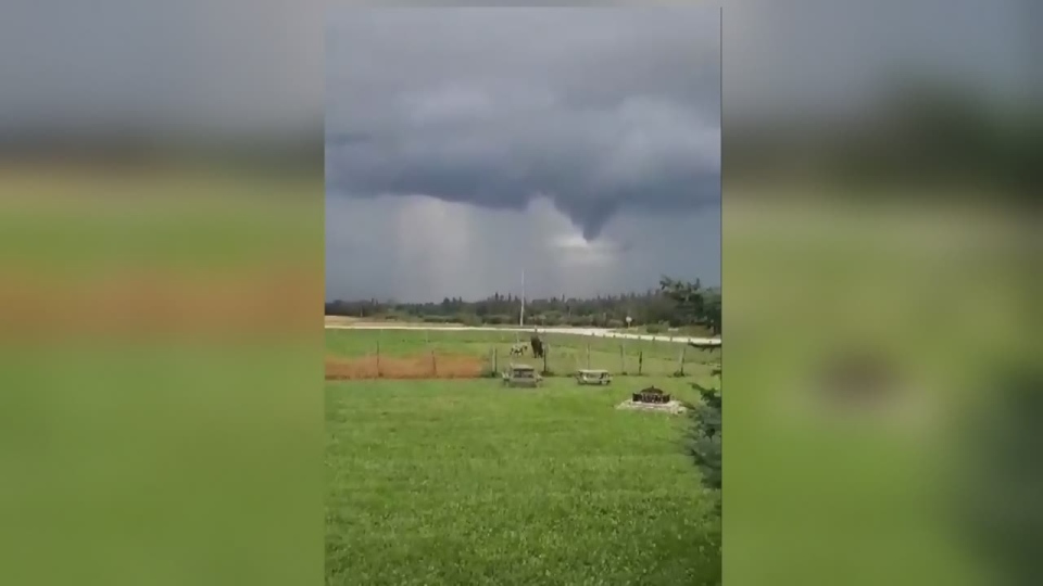
The unsettled weather conditions produced a funnel cloud near Dundalk that one CTV News viewer caught on camera.

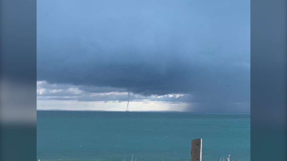
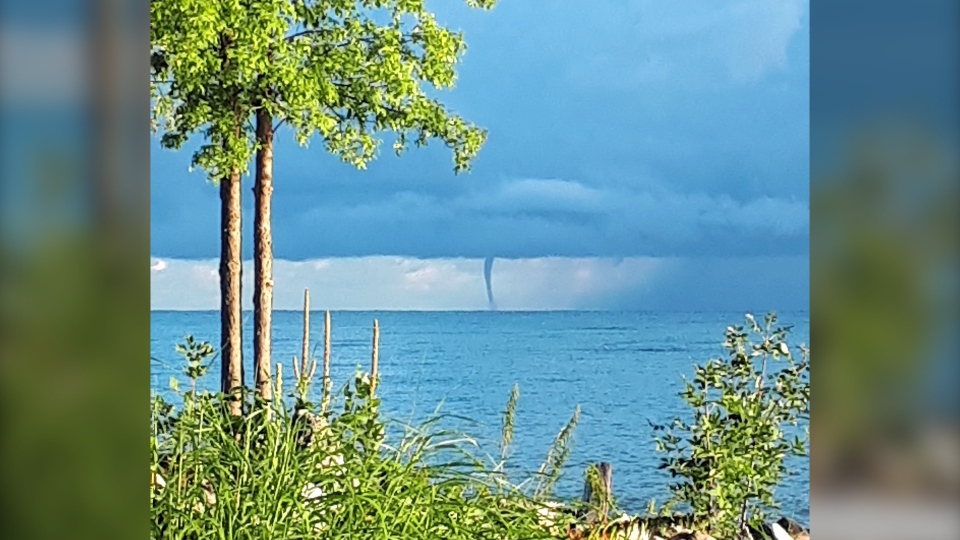
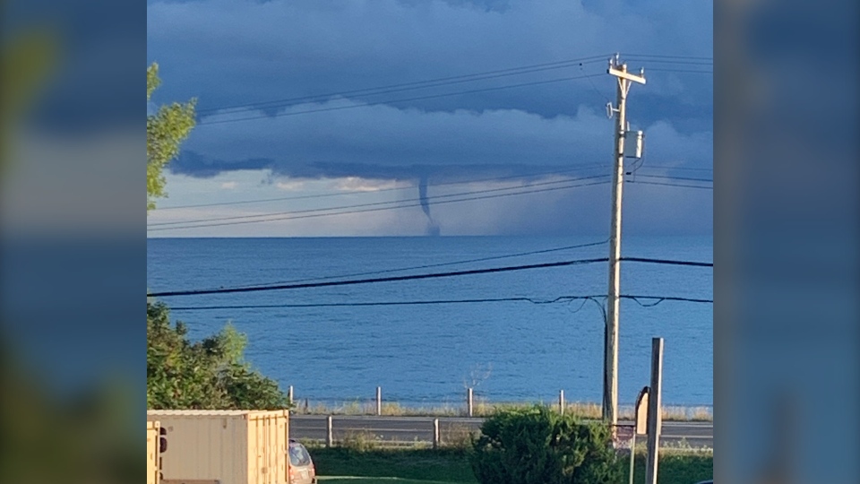
By Tuesday morning several people witnessed waterspouts form on Georgian Bay.
 Waterspout over Georgian Bay in Collingwood, Ont., on Tues., Aug. 18, 2020. (Marc Cormier)
A waterspout looks like a tornado on the water but isn’t nearly as dangerous in most cases.
“Despite that, if you’re on the water and encounter a waterspout, it’s best to keep your distance,“ advised Environment Canada Meteorologist Gerald Cheng.
 Waterspout over Georgian Bay, Ont., on Tues., Aug. 18, 2020. (Aunna Greenfield)
 Waterspout over Georgian Bay, Ont., on Tues., Aug. 18, 2020. (Ian Patten)
A waterspout is created when a column of cool, intense swirling air touches down on warm water. There are two types of waterspouts, tornadic waterspouts, which originate on land and move over water and fair-weather waterspouts, which start over water.
Cheng confirms those witnessed today and Monday across south-central Ontario are fair-weather waterspouts.
Waterspouts generally occur towards the end of summer. “It’s a sign of Autumn edging closer,” said Cheng. “Sad, but true.”


