Remnants of Hurricane Beryl storm across the region
The rain in Simcoe County started early Wednesday morning and persisted throughout the day.
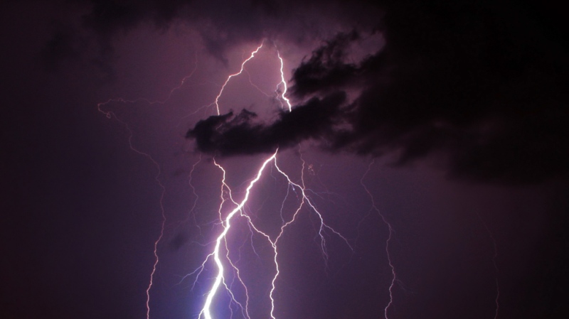
"It's heavy at times, with some strong winds - I think the winds surprised me. We've seen winds maybe of 25 gusting, maybe even higher gusts. It's certainly tropical rains, but it's not a tropical system," said David Phillips, senior climatologist with Environment Canada.
- Download the CTV News app free to get local alerts on your device
- Get the latest local updates sent to your email inbox
Local conservation authorities say that although we're getting a lot of rain, they don't expect significant flooding.
"That could cause some low-level flooding in our area, and there's also the chance of some embedded thunderstorms with the system and possibly some torrential downpours, and that could lead to increased rainfall amounts," said Sheri Steiginga, flood operation specialist with Nottawasaga Valley Conservation Authority.
Officials say it's best to stay back from any bodies of water.
"Fast-flowing waters contain a lot of significant hazards at this time of year. Water may be turbid, you can't really see the bottom, and we're just encouraging everyone to stay away from creeks, rivers, streams, dams, culverts and bridges," said Steiginga.
Phillips says the rainfall totals will vary between 30 and 40 millimetres.
"We see this as an issue. From Angus to Innisfil to Collingwood and Orillia. In Muskoka, yes, but the southern [part of] Muskoka. Huntsville is under a special weather statement - non-extreme rainfall," he said.
Phillips says the storm has unfolded as predicted, adding the region has had 60 per cent more rain than usual at this time of year.
CTVNews.ca Top Stories

AS IT HAPPENED Wildfire reaches Jasper Wednesday night, causes 'significant loss'
One of two wildfires threatening Jasper National Park reached the townsite Wednesday night and caused 'significant loss.'
Alberta calls in army to assist with wildfire situation
Alberta has called in the Canadian Armed Forces to help assist with the worsening wildfire situation in the province.
Biden explains why he ended re-election bid in Oval Office address
U.S. President Joe Biden on Wednesday delivered a solemn call to voters to defend the country's democracy as he laid out in an Oval Office address his decision to drop his bid for reelection and throw his support behind Vice President Kamala Harris.
Barrie-Innisfil MPP 'blacked-out' and crashed car into window of child care centre
Staff at a Barrie child care centre say they are frustrated by what they call a local MPP's inadequate response after a car crashed through a window in one of the toddler rooms.
Norad intercepts Russian and Chinese bombers operating together near Alaska in apparent first
The North American Aerospace Defence Command (Norad) intercepted two Russian and two Chinese bombers flying near Alaska Wednesday in what appears to be the first time the two countries have been intercepted while operating together.
2 Canadians being 'sent home immediately,' removed from Olympic team after drone incident
An analyst and an assistant coach with Canada Soccer are being removed from the Canadian Olympic Team and 'sent home immediately,' according to the Canadian Olympic Committee.
An unwelcome attendee has joined the Paris Olympic Games: COVID-19
After a handful of Australian water polo players tested positive for COVID-19 this week, questions have emerged around how the spread of the disease will be mitigated at the Summer Olympic Games in Paris.
Vacations, meals, booze: Contractor used $100K of charity's money for personal expenses, B.C. court finds
A B.C. man who was hired to help a non-profit build a food hub but instead spent the money on personal expenses – including travel, restaurants, booze and cannabis – has been ordered to pay more than $120,000 in damages.
Male, female killed, 2 others injured in 'gun battle' outside Toronto plaza: police
Two people are dead and two others suffered serious injuries following a shooting that police have described as a 'gun battle' outside a plaza in Scarborough, Ont. early Wednesday morning.


