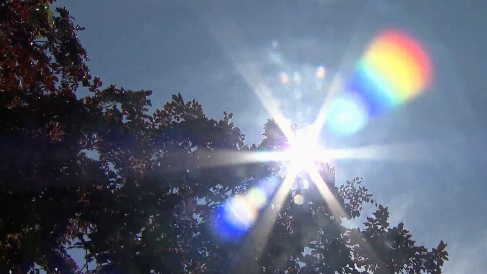
Above average temperatures and stormy weather could be on the way this summer for Central Ontario.
Environment Canada has decided not to release a full summer forecast this year, stating that trends are just too unpredictable to offer long-term insight.
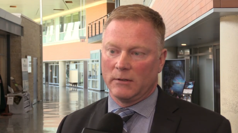
However, Environment Canada meteorologist Gerald Chang says the first four weeks of summer could be hotter than normal.
“There is an equal chance things could be above seasonal, below or even at seasonal. But if we take a look at the next four weeks in general I’m looking at trends that are pointing towards and above seasonal trend,” he says.
Seasonal temperatures are around 24 C. Above seasonal is considered closer to 27 C.
July could also be wetter than normal too. Chang says early models show above average precipitation for next month.
A summer forecast released by U.S.-based weather forecasting service AccuWeather shows we could be in for some severe weather.
“There is a higher risk for severe thunderstorms and tornadoes this summer over Ontario and southern Quebec,” AccuWeather Canada Weather Expert Brett Anderson said in the report.
The forecaster doesn’t name Barrie specifically, but lists Hamilton, Ottawa and Toronto.
“The strongest storms of the season will be capable of producing damaging winds, hail and isolated tornadoes. However, any thunderstorm that moves through the region will bring the risk of flash flooding, especially in urban areas.”
But Environment Canada says summer time precipitation is tricky to predict.
“Precipitation is even harder to predict only because it’s the summer time. You get these thunderstorms that are very isolated. If it passes over your backyard then you’ll get a lot of rain, but it may just miss the person across the street,” Chang says.
He believes this summer will be remembered not for the risk of storms, but for its warm spells.


