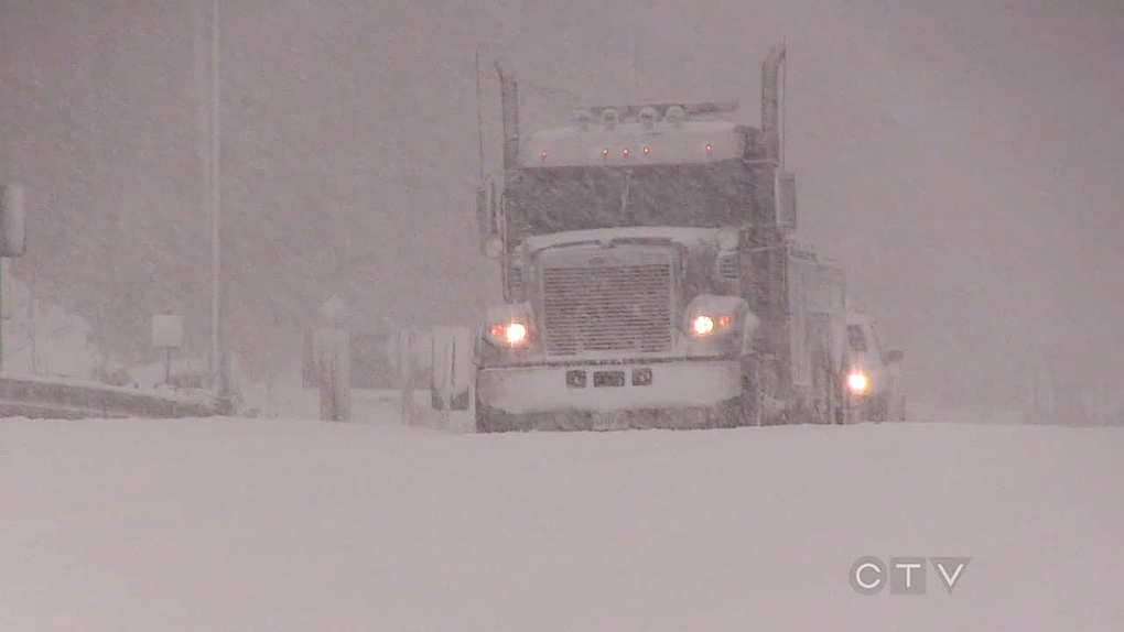
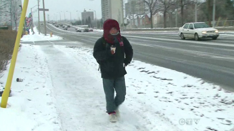
Environment Canada has ended a snow squall watch issued for the region today ahead of a band of bad weather set to hit later this week.
Southern Ontario remains under a special weather statement, and significant winter weather is expected late this week.
A storm beginning in Texas is expected to move into the Lower Great Lakes starting Friday, tracking up from the Midwest US into southern Quebec.
It’s expected the storm will spread into southern Ontario Thursday evening through Friday morning.
Environment Canada says areas from Kincardine to Barrie and to Ottawa will see mainly snow. Other areas south of this could see snow, ice pellets, freezing rain, or even rain.
It could all being intermittent Saturday before another, bigger storm hits the province this weekend. That second storm could bring extended periods of freezing rain across southern Ontario right through the weekend.
However, the weather service says there is a lot of uncertainty around the actual path of the storm, which will affect just what type of precipitation falls and where.
Keep up to date with the latest radar and watchers or warnings on our weather page.
