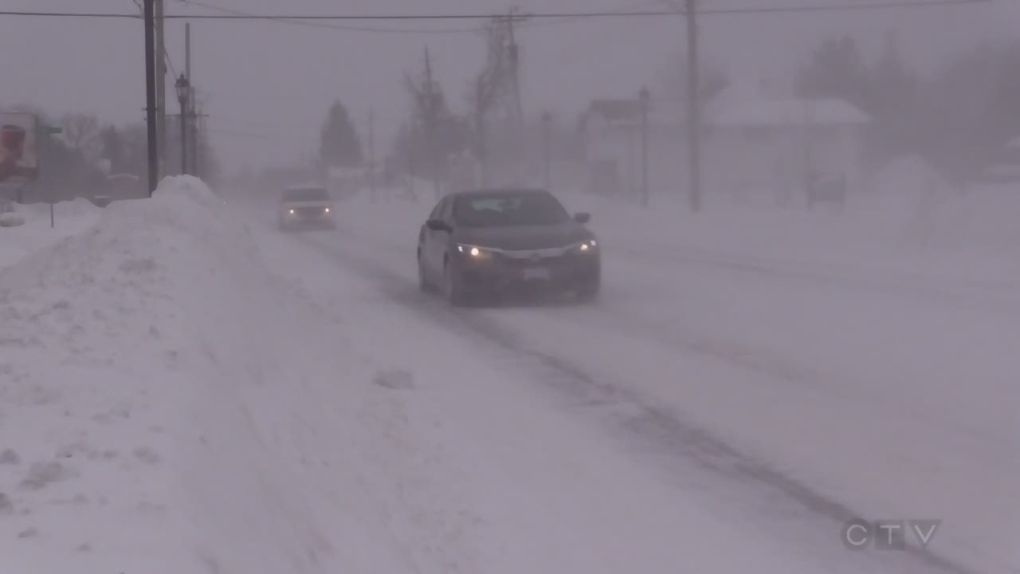
BARRIE -- Like the month of February, this blizzard is sticking around a little longer than many initially expected.
This ‘leap year’ has landed many in our region in snowdrifts more than one meter deep.
The ‘Texas Low’ that came to town has now moved east, but the cold air and lake effect snow from Lake Huron and South Georgian Bay has resulted in another round of massive accumulation.
This could bring snowfall totals in excess of 60 centimetres with another 30 centimetres possible over the next 24 to 36 hours.
“Blizzard” is an accurate description of the snow activity we’ve experienced.
Environment Canada defines “Blizzard” as having blowing/falling snow over at least four hours, visibility reduced to 400 meters or less and sustained winds greater than 40 kilometres an hour during the entire time. Check, check, check.
Saturday should see Mother Nature ease up on the snow amounts-only 5 to 10cm expected, with some sunny breaks.
Sunday, we welcome the month of March with cloudy skies and the chance of flurries and or showers later in the day.


