The region saw its first dose of snow last week and if Environment Canada’s latest outlook is correct, we could see a whole lot more this winter.
Both the Farmer’s Almanac and American weather agencies have been painting a bleak and harsh picture for this winter, but Environment Canada is convinced it’s not going to be as bad as they might think.
“Our models right now show the frontend of winter being a little milder than normal, a little slow to come. Doesn’t mean we won’t see snow and cold, but generally it won’t be into it until January on,” says meteorologist David Phillips.
In fact, Phillips says this winter will fall somewhere in between the mild spell we saw last season and the Polar Vortex winter the year before.
“I’d called it maybe the Goldilocks of winters: not too cold, not too hot.”
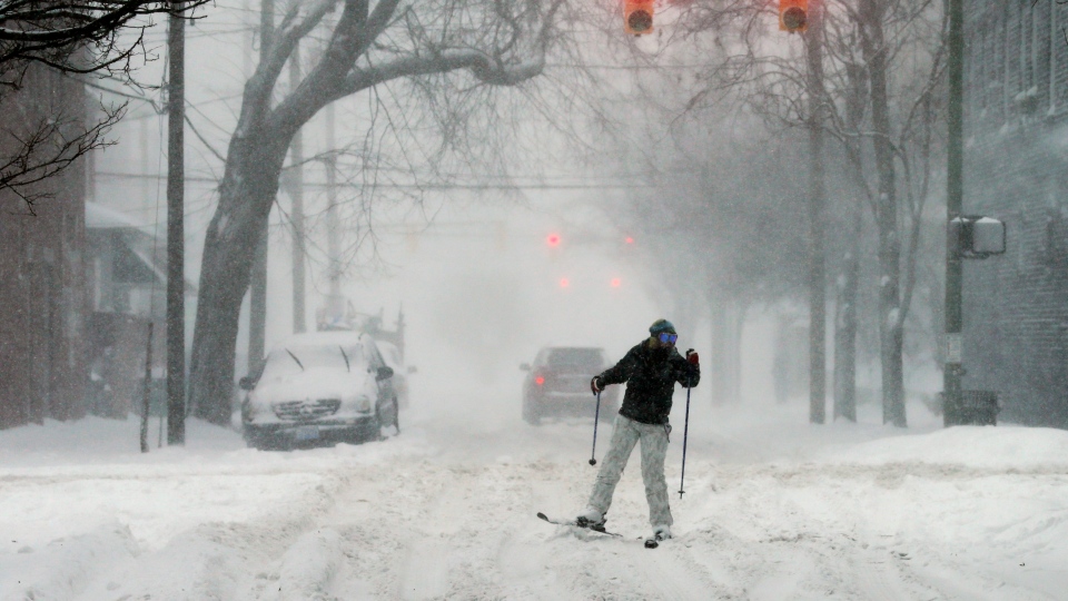
Phillips says it will be great for people who missed skiing, snowmobiling and ice fishing. The same can’t be said for drivers.
May through to October has seen above normal temperatures, and that means the region’s many waterways are warmer.
“If we get a cold outbreak it’s going to turn on that lake effect snow engine so we could get buried early in the season. We could see some heavy snowfalls prior to Christmas.
For those who are already looking forward to spring, Phillips says there’s a silver lining.
“I think we’ll see some falling, some thawing… a back and forth. When you see that kind of variation… it often makes winter shorter because we’re not in that winter rage.”
